


📝 Summary
The University of Technology Malaysia (UTM) and the University of Southern Queensland (UniSQ) have partnered with the Land and Survey Department of Sarawak to develop a marine cadastre in Malaysia. The partnership aims to strengthen academic and professional relationships and explore collaboration in surveying, geospatial technologies, and land administration. The partnership is expected to create opportunities for joint research and development initiatives towards a comprehensive marine cadastre framework for Sarawak.
TOOWOOMBA, Sep 29 – Universiti Teknologi Malaysia (UTM) conducted an academic visit to the University of Southern Queensland (UniSQ), Toowoomba, Queensland, Australia, together with representatives from the Land and Survey Department of Sarawak (JTS) and the Land Surveyors Board of Sarawak. The visit aimed to strengthen academic, research and professional relationships while exploring collaboration in cadastral surveying, geoinformation, geospatial technologies, land administration and the development of marine cadastre in Malaysia.
The visit formed part of an international knowledge-sharing and benchmarking initiative to gain insights into academic expertise, professional practices and technological advancements in surveying and mapping. It also provided a platform to exchange ideas on integrating geospatial data to support the administration and governance of terrestrial, coastal and marine spaces.
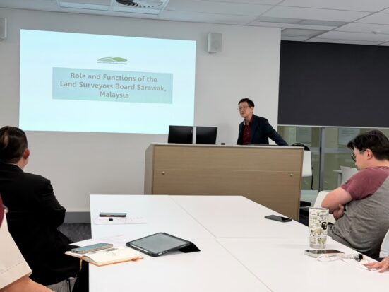
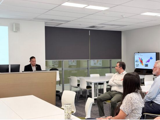
The session began with a presentation by the Secretariat of the Land Surveyors Board of Sarawak, Sr. Wee Ah Beng, who outlined the Board’s background, establishment, roles and functions, particularly its responsibilities in regulating the land surveying profession and professional practices in Sarawak.
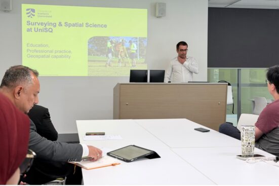
Assoc. Prof. Dr. Abdullah Hisam Omar then introduced UTM’s background and development, highlighting the role and academic activities of the Department of Geoinformation, Faculty of Built Environment and Surveying (FABU), UTM, as well as the university’s expertise in geoinformation, land surveying, research and professional development.
Subsequently, Dr. Armin Agha Karimi from UniSQ presented the university’s academic expertise and potential areas of collaboration among UTM, JTS and UniSQ. Discussions focused on joint research and knowledge exchange in surveying, geospatial technologies, and the development and implementation of marine cadastre in Malaysia and Sarawak.
The delegation also attended a technical presentation on cadastral surveying by Assoc. Prof. Dr. Glenn Campbell. The presentation covered contemporary principles, methodologies, professional practices and technological developments, particularly those supporting accurate cadastral boundaries and reliable spatial information for effective land administration. It also enabled comparisons between cadastral surveying approaches in Australia and Malaysia, including cadastral data management and modern surveying technologies.
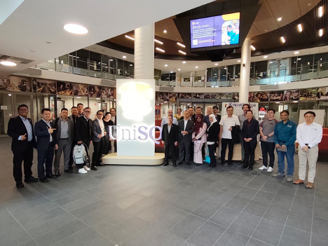
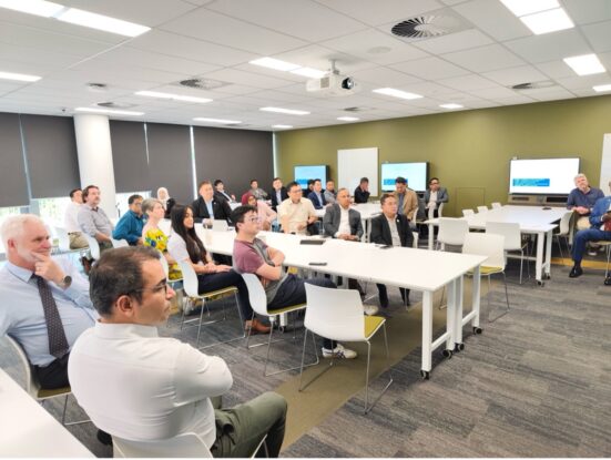
Other areas discussed included marine cadastre research, land and marine administration, marine spatial planning, geospatial technology development, and the integration of terrestrial and marine information. Potential opportunities were also identified in postgraduate research supervision, staff and student mobility, professional development, joint publications and technical knowledge-sharing programmes.
The visit was particularly significant to the ongoing development of Marine Cadastre Sarawak, which requires academic expertise, government operational requirements, professional surveying practices and advanced geospatial technologies to work together. Effective marine space administration depends on accurate, integrated and reliable spatial information to support marine resource management and the sustainable governance of coastal and marine environments.
The delegation also toured relevant surveying technology laboratories at UniSQ to learn about modern surveying equipment, geospatial technologies and innovative approaches in surveying and mapping.
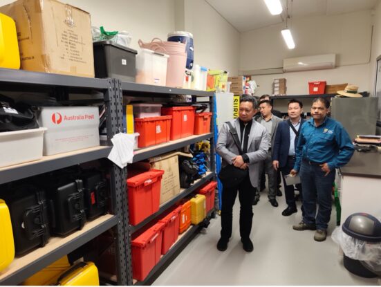
Overall, the visit provided a platform to strengthen institutional links among UTM, JTS, the Land Surveyors Board of Sarawak and UniSQ. The engagement is expected to create opportunities for joint research and development initiatives towards a comprehensive, integrated and sustainable marine cadastre framework for Sarawak.
