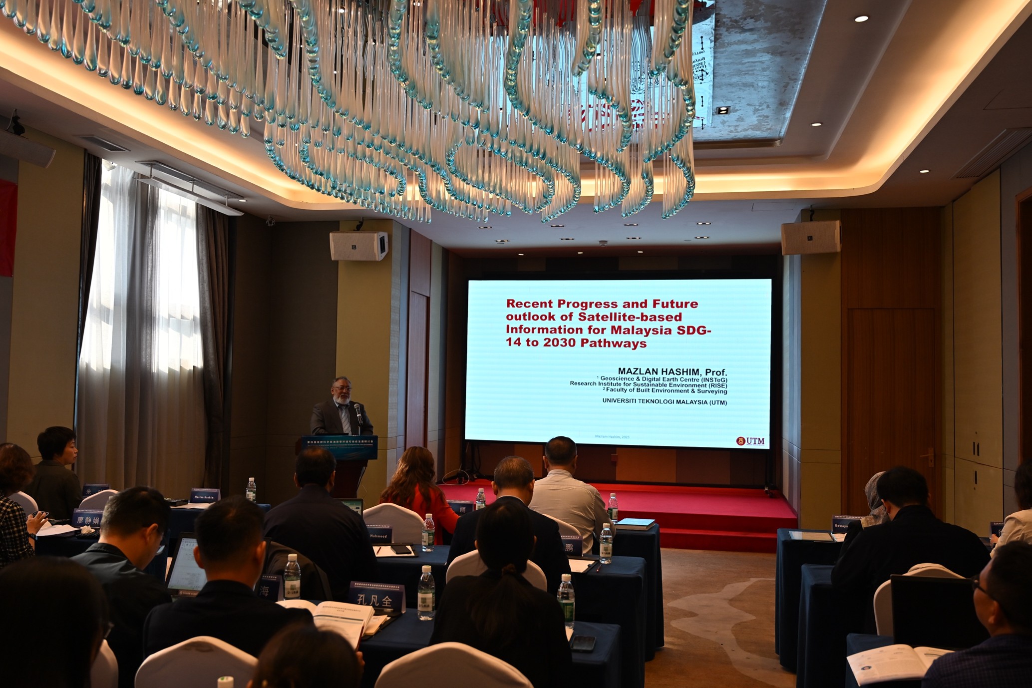

HAIKOU, Dec 9 – Universiti Teknologi Malaysia (UTM) further reinforced its international presence in marine and coastal geospatial science when Prof. Gs Dr. Mazlan Hashim delivered a keynote address at the 4th Seminar on Asia–Europe Scientists Development for Coastal Environment, held on 8 and 9 December 2025 in Haikou, China.
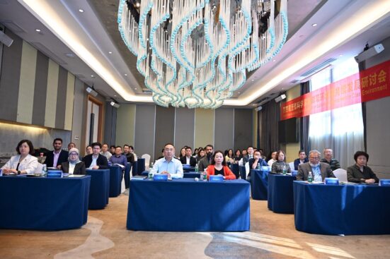
The seminar brought together 55 leading coastal scientists representing 29 international organisations from across Asia and Europe. The bi-annual platform focuses on advancing marine sustainability research, strengthening science–policy linkages, and enhancing collaboration between regional scientific communities.
In his keynote titled “Progress and Future Outlooks on Satellite-Based Information for SDG14 Pathway Towards 2030,” Prof. Mazlan highlighted major technological breakthroughs in satellite remote sensing that are reshaping coastal monitoring, ocean governance, and climate resilience strategies.
He showcased recent advances in high-resolution and hyperspectral satellite sensors, ocean colour analytics, shoreline deformation monitoring, and AI-driven geospatial processing—capabilities that now enable nations to detect environmental changes with greater speed and accuracy. These technologies, he emphasised, are central to achieving the targets of Sustainable Development Goal (SDG) 14: Life Below Water.
Prof. Mazlan emphasized the urgent need for stronger action across Association of Southeast Asia Nations (ASEAN), where progress toward SDG 14 remains average at the 50 percent. He warned that the region faces three critical challenges that demand immediate attention, and highlighted how satellite remote sensing can play a transformative role in addressing them. Overfishing continues to push many fisheries beyond sustainable limits, making satellite-based vessel tracking, ocean productivity mapping, and illegal fishing detection systems essential for safeguarding long-term fish stocks. Rising sea levels pose another severe threat to ASEAN’s densely populated coastal areas, with worst-case projections indicating an average rise of 1.7 meters by 2100, endangering major deltas, ports, and cities. Satellite altimetry and coastal deformation monitoring offer vital early warnings to support adaptation planning. Meanwhile, rapid coastal development has accelerated coral bleaching, placing fragile ecosystems under immense stress. Satellite measurements of sea-surface temperature, turbidity, and thermal indices provide critical data for protecting and restoring coral reefs across the region.
These three lagging indicators, he noted, represent urgent priority areas where ASEAN must scale up satellite-based observations to accelerate SDG14 progress.
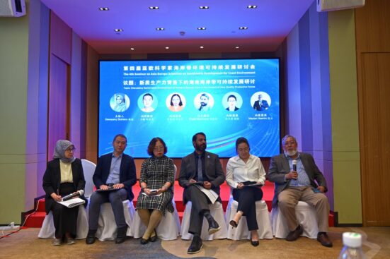
Beyond delivering the keynote, Prof. Mazlan participated in high-level scientific and policy discussions with delegates from China, the United Kingdom, Canada, Pakistan, and Southeast Asia, focusing on opportunities for collaboration in integrated coastal modelling, harmonised marine data systems, blue economy monitoring, regional SDG 14 research frameworks, and climate-resilient coastal planning. These exchanges are expected to pave the way for joint research projects, data-sharing initiatives, and technical exchange programmes aimed at strengthening Asia–Europe cooperation in coastal science.
Reflecting on the discussions, Prof. Mazlan emphasized that the health of the oceans demands immediate, science-based action, noting that satellite remote sensing has become indispensable for ASEAN’s coastal sustainability.
He reaffirmed UTM’s commitment to advancing these technologies and strengthening international partnerships to support resilient coastal futures. UTM’s participation in the Haikou seminar underscores the university’s role as a leading regional institution driving impactful scientific contributions to global marine sustainability and the advancement of SDG 14.
“UTM shaping resilient coasts through space technology”
Prepared by Professor Sr. Gs. Dr. Mazlan Hashim, Chairman, UTM Council of Professors
