JOHOR BAHRU, 10 October 2016 – The application of Geographic Information System (GIS) allows mankind to visualize, question, analyze and interpret data to understand relationships, patterns and trends.
The nature in which GIS applications are capable of assisting local authorities and the State Government is also in such processes of decision-making weight as carrying out development in an area.
The Chief Executive Officer (CEO) of Iskandar Regional Development Authority (IRDA), Datuk Ismail Ibrahim said the concept of developed countries, stakeholders have very limited time to make a decision and strongly depend on the accuracy of the data analysis.
“We at IRDA are heavily involved in matters requiring data analysis sufficient to produce accurate results in terms of development.
“The use of GIS has already become part of the job requirements and is no longer a new technology,” he said.
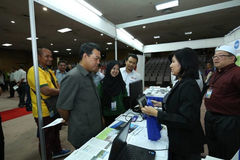
He said this when officiating the Geoinformatic & Geomatic Festival (GEOFest) 2016 held at Dewan Sultan Iskandar, Johor Bahru campus. Also present were the Deputy Vice Chancellor Academic and International, Prof. Dr. Rose Alinda Alias.
“Due to the increasing need for GIS technology, there are needs to be close collaboration between the university-industry and customers so the application developed can fit itself to the latest need and also in accordance with the current situation.
“It is important that we realise the potential for without it we would not be able to plan for sustainable development for the sustainability of people’s lives in the future,” he said.
The GEOfest 2016 carries an objectives to expose students to the current issues and contemporary challenges related to the fields of GIS and Geomatics as a preparation for the future.
Among the activities carried out at the program were an exhibition, Career Talk, Sharing Session, Contest and Geogames, Forum and Geospatial Talk.


