📝 Summary
Western Pacific (WESTPAC) – Ocean Remote Sensing Project (ORSP) for Coastal Habitat Mapping Workshop aimed at providing the opportunity for researchers to conserve coastal habitats by using remote sensing in order to map the spatiotemporal distribution of coastal habitats, with an initial focus on sea-grass beds.
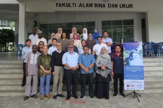
The Geoscience and Digital Earth Centre (INSTeG), Research Institute for Sustainability and Environment (RISE), Universiti Teknologi Malaysia (UTM) in collaboration with IOC Sub-Commission for the Western Pacific (WESTPAC) had organized the WESTPAC-ORSP for Coastal Habitat Mapping Workshop. The workshop was held at the Faculty of Built Environment and Survey, Universiti Teknologi Malaysia, Johor Bahru from February 25th to 27th, 2019. The theme of the workshop was “Meeting for Developing a New Strategy of Coastal Habitat Mapping in the Western Pacific” and it was open to all steering committee members. Leading scientists in the discipline from various universities and institutes of Japan, Thailand, Indonesia, Vietnam and Malaysia were invited.

This international event was aimed at providing the opportunity for researchers to conserve coastal habitats by using remote sensing in order to map the spatiotemporal distribution of coastal habitats, with an initial focus on sea-grass beds. The participants have discussed the prospect of ORSP for coastal habitat mapping. They have also planned to establish relationships within the scientific community for more collaborative efforts to enhance the work of coastal mapping in the near future.
The participants have presented various significant topics related to sea-grass changes. The review of progress and consolidated outcome from previous UNESCO/JFiT funded activities became the limelight of this workshop.

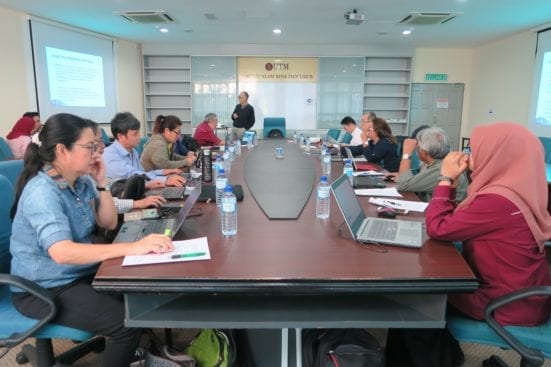
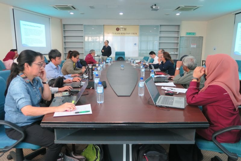
Discussion session where participants shared ideas to enhance the use of ORSP for coastal habitat mapping


