
It’s time to seriously create a resilient society to many awaiting disasters including earthquake & tsunami.
Even though Malaysia is not included in the volcanic ring of fire, changes of topography made by the industrial activities and natural causes might not put us in a safety zone forever.
Thus, a standard Crisis Management Plan should be drafted by the Malaysian government to help mitigate the damage and loss of human lives if the country is hit by an earthquake.
This could help to prepare Malaysia for any possibilities in the future.
Geotechnical earthquake expert from the Center of Tropical Geoengineering, Universiti Teknologi Malaysia (UTM) or Geotropik, Prof. Ir. Dr. Hj. Ramli Nazir said it is important for a country like Malaysia to prepare for this catastrophe since Malaysia is located on the same continental plate as Indonesia and Philippines which are susceptible to to earthquake. Earthquake which occurs may cause tremor to Malaysia as we experience for the last few years.

The high degree of scientific and engineering skills is also a major factor in the success of critical disaster crisis management. “ We need a task force from each discipline from Geophysics, Geodesy, Geology and Engineering to join together in developing a blue print for developing standard Crisis Management Plan for earthquake”, Ramli said.
“Through the experience of conducting research in Central Sulawesi where the earthquake, liquefaction and tsunami struck, many damages occurred due to a low level of awareness and preparedness among the people of the country even though the occurrences has been recorded before.
“The government must play a role in making technical preparation and also providing education on earthquake prevention to the people to be ready, and to be in the most preparatory and tranquil conditions especially in the seismic prone area ,” he said.
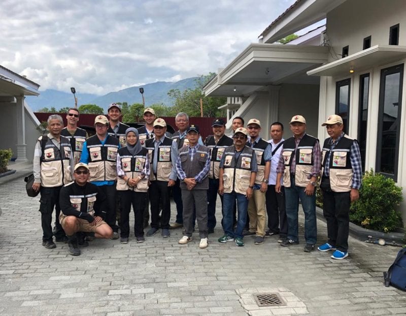
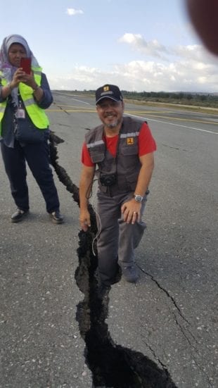
Prof. Ramli had previously departed in October 2018 and November 2018 for Palu, Indonesia to conduct a study on the impact of earthquake after being invited by the National Center for Earthquake Studies (PusGeN) Indonesia as an International Geotechnical expert.
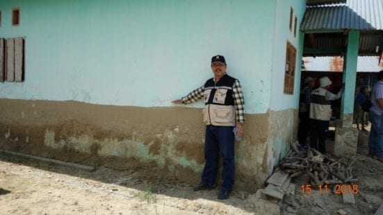
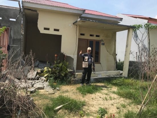
While doing his research on the Geotechnical impact on the earthquake, he witnessed many property damages and loss of human life as a result of being unprepared. The Palu District in the Sumatra Islands was hit by the shallow earthquake and tsunami on the eve of September 28, 2018. The epicentre was located 77 km away from the the capital city of Palu and was reported felt as far away as Samarinda on East Kalimantan and also in Tawau, Malaysia.
“The 7.4Mw magnitude of main shock occurred at 18:02 local time while the 6.1Mw magnitude of aftershock earthquake later at 18:14 caused severe destruction in Palu, Balaroa, Sigi and Sibalaya, destroying thousands of homes and hospitals, a shopping center, a mosque, a church, a hotel and a bridges.
“At least 2,100 people were confirmed dead after the disaster and more than 10,000 others injured, of which 4,612 were seriously injured, while 61,700 peoples were made homeless” said Prof. Ramli.
On the evening of 28 September, earthquakes followed by a tsunami as high as 11m struck Palu city. While in other places such as Petobo, Sigi and Sibalaya was totatlly lost due to liquefaction. Balaroa village was totally lost due to mass landslide. The impact was deadly, causing many victims could not be accounted for.
Indonesian authorities stated that at least 200 survivors in Palu were evacuated with a Hercules C-130 to Makassar, some for further medical treatment.
Nearly 82,000 people in Palu had been displaced by the earthquake and tsunami. The Data, Information and Public Relations Center of Indonesian National Board for Disaster Management stated that around 350,000 population of Palu were affected by the earthquake and tsunami.
The Data, Information and Public Relations Center of Indonesian National Board for Disaster Management stated that Petobo and Balaroa was among the area with the most casualties. Reports from National Disasters Management Agency of Indonesia revealed that “thousands of people” were killed by the impact of earthquake, “he said.
Ramli said that the heavy casualties of human lives and properties was because there was no contingency plans available to combat such an incident to happen. Palu has been hit by large earthquake before with a magnitude of 7.8Mw in 1907.
However no records of casualties and type of earthquake impact has been recorded thus preparation of the disasters for future is not a priority to the authorities. It was unexpected that flow liquefaction and Tsunami would occurs in Palu City as it is caused by a horizontal strike which is less disastrous than a mega thrust type earthquake. Mega thrust earthquake is a results of subduction between two different continental plates as can be seen in Acheh earthquake in 2014.
“There is a high probability of earthquake in Malaysia based on the earthquake historic timeline and existence of fault in peninsular Malaysia and East Malaysia. Far field earthquake impact could also experience in Malaysia especially Penang, Kuala Lumpur and Johor Bahru due to its location near to Sumatera mega thrust. Earthquake is a time cycle occurrence.
It is important for Malaysia scientist to catalogue the occurrence of earthquake and its impact to Malaysia before so that prediction can be made for future incident such as Ranau earthquake occurrence in 2016.
“It is very important for us to have such a contingency plan or earthquake disaster management crisis plan to help us to overcome or at least reduce the losses inflicted by the disaster itself in making the society to be resilient towards disasters such as earthquake in prone area.” he said.
Credits: Prof. Ir. Dr. Hj. Ramli Nazir