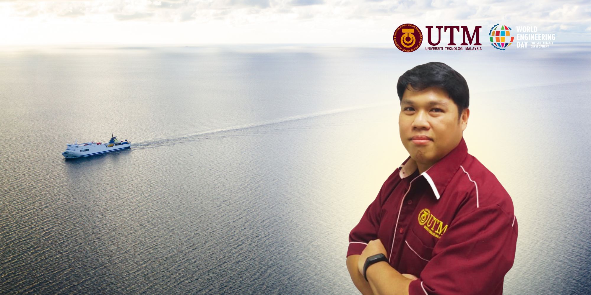
In Geomatics Engineering, hydrography involves the study and mapping of bodies of water, including oceans, seas, lakes, rivers and estuaries. It includes tasks such as data collection, analysis, interpretation, visualisation and dissemination of data on underwater features and the marine environment. This information is crucial for navigation, resource management, environmental monitoring and disaster prevention. Therefore, this article explores the intricate link between geomatics engineering and sustainable hydrospatial development and shows how innovative methodologies and data-driven approaches are reshaping our understanding and management of the aquatic environment.
Today, hydrographic practise is being profoundly influenced and changed by the evolving trends of digital transformation and interdisciplinary technological innovation. The evolution of hydrography from traditional graphical representation to digital technology and now to spatial information has led to the introduction of the term “hydrospatial”. This term describes the modern, high-tech, digitally driven data environment in which hydrographic practise takes place and emphasises the spatial and temporal references in the aquatic environment or “hydrospatial domain”. This domain is highly dependent on accurate hydrographic data for a variety of applications, including maritime navigation, coastal zone management, marine resource exploration, disaster management, environmental monitoring and marine spatial planning. Without precise hydrographic information, these activities would be hampered, which could lead to safety risks, inefficiencies and environmental hazards. Therefore, hydrography is crucial for the effective sustainable management and development of marine resources and coastal areas.
Modern geospatial technologies such as precise GPS/GNSS positioning, acoustic sounding systems, unmanned systems (ROV, USV, etc.), airborne LiDAR, satellite-based altimetry, satellite-based bathymetry (SDB) and advanced artificial intelligence (AI) processing methods are widely used for mapping everything from coastal regions to the remote oceans. This has revolutionised the routine of the geomatics engineer, especially the hydrographic surveyor, and involves the integration of more types of spatio-temporal data from different sources. The rise of big data and analytics has opened up new opportunities to utilise vast amounts of hydrogeographic information to facilitate and improve data collection in the hydrogeographic domain, which encompasses the spatial aspects of hydro-related activities. Utilising these technological advances will not only improve data accuracy but also streamline the surveying process, allowing for more efficient and comprehensive data collection. In particular, it provides a cost-effective and reliable approach to mapping shallow water areas, improving navigational safety and environmental monitoring to accelerate the realisation of the Sustainable Development Goals (SDGs) 2030.
The increasing demand for accurate bathymetric measurements has led to multidisciplinary technological trends in hydrography that require skills in geoscience, remote sensing, oceanography, computer science and data analysis. The development of multidisciplinary skills is crucial to effectively tackle complex challenges and maintain competitiveness in the field of hydrography. The use of new technologies such as autonomous systems, artificial intelligence, machine learning and advanced sensors enhances surveying capabilities and enables the provision of actionable hydrospatial data. The multidisciplinary technological trends in hydrography are reshaping the field and offering new opportunities and challenges. By adopting the latest geospatial technologies, developing multidisciplinary capabilities and keeping up with technological advancements, hydrographic practitioners can provide accurate information for different sectors and contribute to the sustainable hydrospatial domain. Ongoing research and collaboration are vital to address new challenges such as climate change and sea level rise, flood risk management, ecological protection and restoration, and water quality monitoring and protection, ensuring the sustainability and resilience of our aquatic environment.
In summary, the synergistic integration of advanced technologies, interdisciplinary collaboration and sustainable practises is essential to realise the full potential of hydrographic surveying in promoting sustainable hydrospatial development. This interdisciplinary approach promotes holistic solutions that address the complex socio-ecological challenges of the aquatic environment. By applying innovative methodologies, data-driven insights and effective leadership, hydrographic surveying professionals can tackle the complexity of the hydrospatial domain, advocate for the protection of the environment and contribute to a more sustainable and resilient hydrospatial domain.
Ts. Sr. Dr. Kelvin Tang Kang Wee is a Senior Lecturer in the Geoinformation Department and a member of the Geomatic Innovation Research Group (GnG), Faculty of Built Environment and Surveying, Universiti Teknologi Malaysia. His research interests include maritime positioning and bottom topography modeling utilizing automated imagery-derived techniques. He is now a Professional Technologist (P. Tech) registered with the Malaysia Board of Technologist (MBOT), as well as a member of the Royal Institution of Surveyors Malaysia (RISM), the Institution of Geospatial and Remote Sensing Malaysia (IGRSM), and the Institute of Electrical and Electronics Engineers. His interests include satellite positioning and hydrography.

