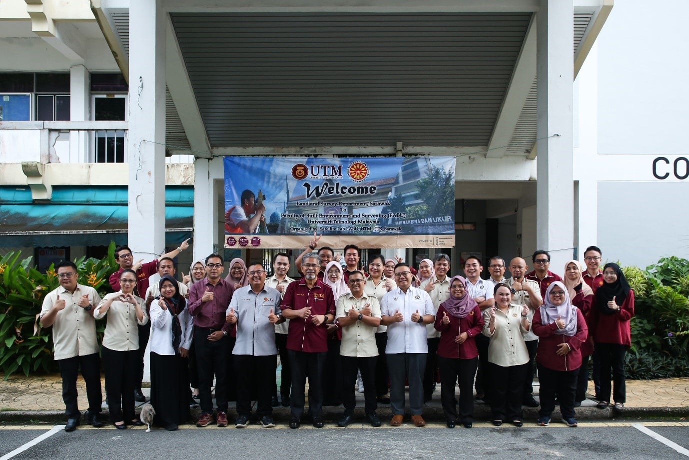
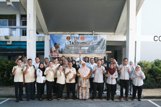
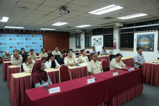
Johor Bahru, Sept. 27 – The realm of urban planning plays a critical role in shaping the future of cities, striving to ensure their efficiency, sustainability, and overall quality of life. Against this backdrop, the recently concluded colloquium on Spatial Data Applications in Urban Planning, held from 11th to 14th September 2023, stands as a momentous milestone in the realm of urban planning and spatial data applications. This collaborative effort was conceived as part of the Satellite Lab programme and was jointly organized by Universiti Teknologi Malaysia (UTM) and the Land and Survey Department Sarawak (JTS). The event served as a catalyst for innovation and the exchange of knowledge in the ever-evolving landscape of urban development.
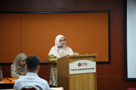
On the first day of the colloquium, the event was officially inaugurated with a solemn rendition of the national anthem. Following this patriotic opening, the participants were treated to a warm welcome address delivered by the Director of Urban and Regional Planning, Associate Professor TPr Dr. Siti Hajar Binti Misnan. Her insightful remarks set the tone for the day, underscoring the profound significance of this colloquium, particularly in the context of contemporary urban planning and spatial data analysis. Furthermore, Ts. Gs. Sulaiman Bin Budin, the head of the JTS delegation, provided a comprehensive overview of the delegation’s expectations and goals for the programme, offering valuable insights into their collective vision.
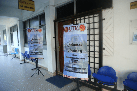
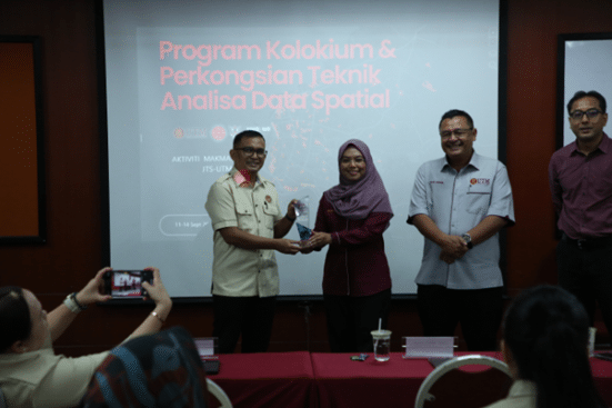
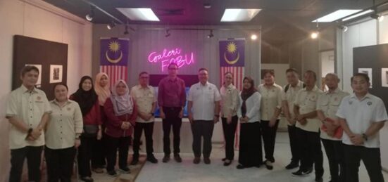
After a brief morning break, a series of engaging sessions unfolded, meticulously designed to provide participants with a comprehensive understanding of spatial data applications in urban planning. These sessions delved into data-sharing practices at both UTM and JTS, providing invaluable insights into the contributions of these institutions to the advancement of spatial data. Renowned experts in the field enriched the programme with their presentations. Ts. Gs. Dr. Noradila Rusli explored the data analytics themes of Worldwide Urban Observatory systems, sharing valuable lessons learned for the Urban Observatory (UO). Ts. Gs. Sulaiman Bin Budin, on the other hand, provided insights into the development of Sarawak’s Virtual 3D City Modeling (SAVI 3D) project. Ts. Gs. Noordini Che Man presented a compelling case study on Multi-Criteria Decision-Making (MCDM) in Malaysia, while Ts. Gs. Haris Freedy bin Ismail offered insights into the adaptation of Sarawak’s Development Planning Management System (SDPMS) for informed planning decisions. Throughout these sessions, the overarching message highlighted the paramount importance of collaboration in harnessing the full potential of spatial data. A dynamic question-and-answer session ensued, fostering lively exchanges of ideas and knowledge among the participants.
The second day of this highly anticipated colloquium immersed participants in the world of Multi-Criteria Decision-Making (MCDM) techniques. This specialized data analysis sharing, featuring Ts. Gs. Dr. Noradila Rusli, TPr Dr. Nafisa Hosni, and Ts. Gs. Noordini Che Man, was an integral component of the ongoing event. It was skilfully designed to unravel the intricacies of MCDM and highlight its pivotal role in shaping strategies for urban and regional planning. The day commenced with an essential primer on MCDM. In the realm of urban and regional planning, where decisions are contingent upon a multitude of factors, MCDM emerges as an indispensable tool. It provides a structured approach for evaluating and ranking alternatives by taking into account a wide array of criteria and objectives. These encompass economic, environmental, social, and cultural dimensions, among others. Participants in the workshop were treated to a comprehensive exploration of various MCDM methodologies that can be customized to suit diverse planning scenarios. However, the heart of the session undoubtedly lay in the practical, hands-on application of MCDM techniques to real-world planning situations. Through immersive exercises, participants delved into a case study involving the suitability analysis of police station locations for the Dewan Bandaraya Kuching Utara area.
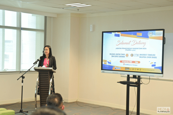
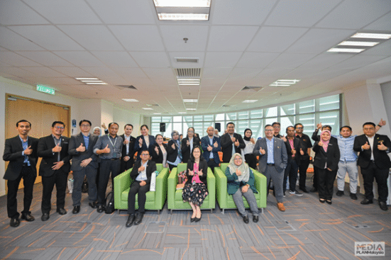
On the third day of the programme, participants embarked on an enlightening journey through Putrajaya. The delegation visited PLANMalaysia, where they were warmly welcomed by TPr Toh Lay See, Director of Corporate Division of PLANMalaysia; TPr Zulazhar bin Abd Ghani, Deputy Director of Corporate Division of PLANMalaysia and Mr. Peter Valentine Amandus Jr., Head of the Malaysia Urban Observatory (MUO) Unit of PLANMalaysia.
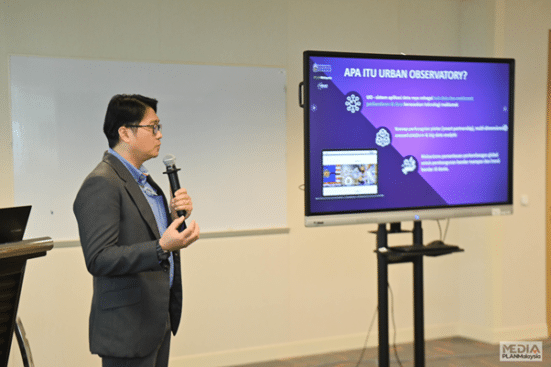
TPr Toh Lay See opening address set a collaborative tone for the day, underscoring the importance of joint efforts in shaping the future of urban planning. Ts. Gs. Sulaiman Budin delivered a keynote address that resonated with the delegates. His insights into the challenges and opportunities faced by urban planners in Sarawak provided valuable perspectives for the entire delegation. Participants were then treated to a comprehensive briefing by Mr. Peter Valentine Amandus Jr., Head of the MUO unit at PLANMalaysia. The session illuminated the crucial role of data analytics-driven insights in modern urban planning and highlighted how MUO leverages technology for informed decision-making. The day concluded as participants boarded the bus, heading back to Johor Bahru, with a wealth of new insights and inspiration to carry forward in their urban planning endeavours.
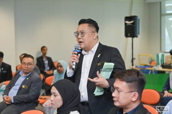
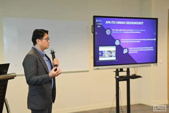
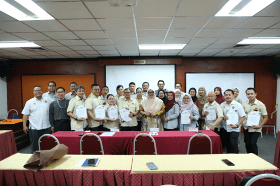
The fourth and final day of the colloquium was infused with a palpable sense of accomplishment, as participants convened for the closing ceremonies and a visit to the Iskandar Puteri City Council (MBIP). The day commenced with closing remarks from Prof Sr Dr. Kherun Nita Binti Ali, Dean of the Faculty of Built Environment and Surveying (FABU), setting the stage for a day of reflection and celebration. A pivotal moment of the day was the certification ceremony, where participants were bestowed with their hard-earned certificates, signifying the culmination of their journey in the colloquium. The highlight of the day was the visit to the MBIP. TPr Chew Lee Ting, Deputy Director of Development Planning and GIS at MBIP, extended a gracious welcome to the delegation. Participants were treated to an enlightening session on the Geographic Information System (GIS) developed by MBIP. This presentation demonstrated how technology can empower urban planners with data analytics-driven insights crucial for city development. The session was followed by an interactive question-and-answer session and concluded with a heartfelt exchange of tokens of appreciation. While the colloquium has officially ended, the waves of knowledge and collaboration it ignited are set to shape urban planning initiatives in the foreseeable future, spanning days, months, and years ahead.
About the Land and Survey Department Sarawak: The Land and Survey Department is a leading agency in land management and land administration in Sarawak. Matters under its jurisdiction are land, planning valuation, survey, and enforcement of the land laws under the Sarawak Land Code.
Author: Nadzirah Hosen

