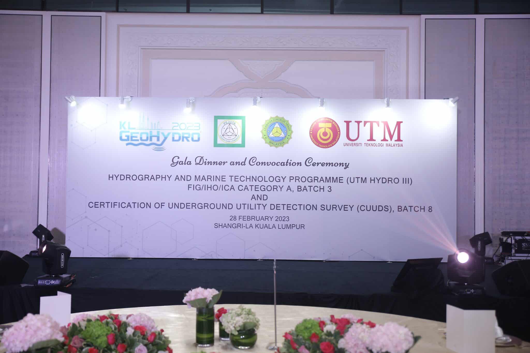
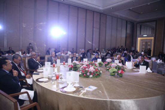
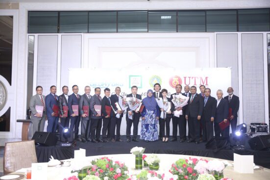
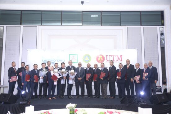
Kuala Lumpur, Malaysia – The Convocation Ceremony of the third Hydrography and Marine Technology Programme (UTM HYDRO III), FIG/IHO/ICA Category A level, and the eight Certification of Underground Utility Detection Survey (CUUDS) was held at the Shangri-La Hotel Kuala Lumpur on Tuesday, 28 February 2023. The ceremony was in conjunction with the Gala Dinner of KL GeoHydro 2023.
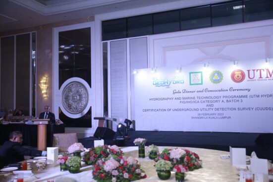
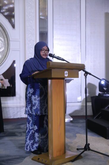
The event commenced with welcoming remarks from Sr Mohd Hanifa K Abd Hamid, President of the Association of Authorised Land Surveyors Malaysia (PEJUTA). Professor Sr Dr Kherun Nita Ali, Dean of the Faculty of Built Environment and Surveying, Universiti Teknologi Malaysia, delivered the opening address. She expressed her gratitude to the Organising Committee of KL GeoHydro 2023 for inviting her to inaugurate the Convocation Ceremony of both programmes.
UTM HYDRO III, a hydrographic surveying professional programme, trains Licensed Land Surveyors and Registered Land Surveyors to be professionally trained internationally in line with the current developments. The programme aims to ensure that the expertise of Licensed Land Surveyors in hydrographic surveys is recognised not only at the national level but at the international level as well. The UTM HYDRO III was recognised on 31 March 2018 by three international organisations: the International Federation of Surveyors (FIG), the International Hydrographic Organization (IHO), and the International Cartographic Association (ICA). Including this batch, the UTM HYDRO III has successfully produced 53 Licensed Land Surveyors with a FIG/IHO/ICA Category A certificate.
The sharing of academic expertise and practical training by the teaching staff of the UTM HYDRO III with the students in an effort to spread knowledge in the field of hydrography opens up opportunities for students to deepen their understanding in this field. The teaching staff consists of lecturers from Universiti Teknologi Malaysia and Universiti Malaysia Terengganu, as well as officers from the Royal Malaysian Navy and the Department of Survey and Mapping Malaysia. Through this programme, students are exposed to theory and practical training and the latest technology and innovation in the field of hydrography. Hopefully, the graduates involved will be able to appreciate and further develop a deep interest in what has been learned throughout this programme.
For the purpose of producing qualified Underground Utility Mapping surveyors, the Association of Authorised Land Surveyors Malaysia, in collaboration with the Land Surveyors Board Malaysia, has worked together to draft a recognised underground utility mapping competency and certification training programme as a Certificate of Competency in Underground Utility Detection Survey (CUUDS). This programme has successfully produced 195 qualified Licensed Land Surveyors. As a result of the CUUDS programme, government and private agencies have recognised the role of qualified underground utility mapping surveyors.
The success of UTM HYDRO III and CUUDS is due to the close collaboration and cooperation between the Universiti Teknologi Malaysia, the National Hydrographic Centre, the Department of Survey and Mapping Malaysia, the Land Surveyors Board Malaysia, and the Association of Authorised Land Surveyors Malaysia. The collaboration and commitment given by all agencies and institutions have significantly impacted the development of hydrography and utility mapping in Malaysia.
Prepared by:
Prof. Sr Dr Mohd Razali Mahmud and Assoc. Prof. Sr Dr Ami Hassan Md Din
Faculty of Built Environment and Surveying, Universiti Teknologi Malaysia